Why it matters:Earth observation can reveal drought, building, flooding, and forest loss. The harder work is turning images into decisions that people can trust.
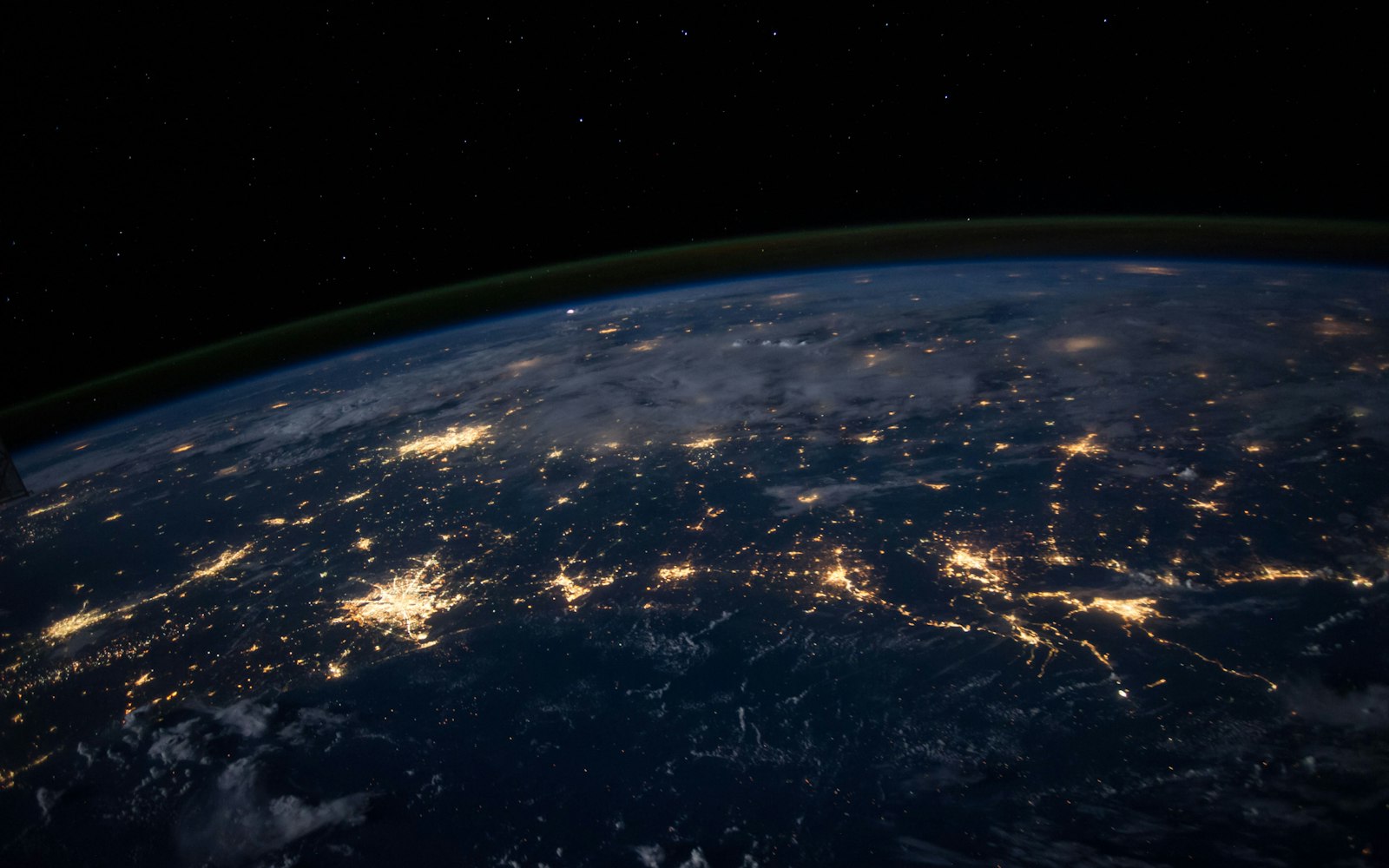
A satellite image can look like evidence: a river shrinks, a forest edge moves, a settlement expands. Yet a useful decision rarely comes from a single picture. It comes from comparing images over time, understanding how the sensor works, and checking the result against what people on the ground already know.
Earth observation has become more accessible as public agencies and private companies release more data. That is a significant shift. A local government that once commissioned an occasional survey can now monitor land cover more regularly. A newsroom can use satellite imagery to examine a change that official records do not capture.
The image is not the conclusion
Different sensors see different things. Clouds can block a view. A pixel may mix multiple surfaces. A model that classifies land cover has to make assumptions about what counts as forest, water, or built-up land. None of these limitations make the data useless, but they need to travel with it.
Good interpretation combines remote sensing with local records, field visits, and interviews. A satellite can show where a river has changed course. It cannot explain why people are still farming in a floodplain or which households have the resources to move.
Access is uneven
Public data is a major asset, but the capacity to use it is not evenly distributed. Large agencies and companies can hire specialists. A small municipality may have the imagery but not the time or skills to turn it into a plan.
Shared services can help. Regional labs, universities, and open tools can provide analysis without requiring every town to build a satellite team. Training should focus on the decisions people make, not only on the software.
A map becomes powerful when someone can ask who produced it, what it leaves out, and which decision it will inform.
Transparency builds trust
Satellite-derived products should publish clear methods, uncertainty, and the date of the underlying observations. When a company claims that a piece of land is being cleared or a city claims that its emissions are falling, the public should be able to see how the conclusion was reached.
That does not mean every image needs to be released. It does mean that the reasoning should be inspectable. A model that cannot explain its classification is difficult to use in a dispute about land rights or public money.
A tool for accountability
The most valuable uses often connect global observation to local questions: whether a promised park was built, whether a damaged area recovered, whether a vulnerable neighbourhood is exposed to repeated flooding. The satellite is not an oracle. It is a way to look at the same place again and ask better questions.
As coverage improves, the political question will become more important. Who owns the data, who can afford the analysis, and who can challenge the result? Earth observation can make the planet more legible. It should also make power more visible.
Reference desk
Sources and further reading
Fieldwork publishes explanatory journalism and independent analysis. This story follows our editorial standards.
Updated throughout the editorial cycle.